
Greenacres ZIP Directory Coverage
Four ZIPs are associated with Greenacres searches, but none should be treated as a city boundary. The official evidence supports a primary ZIP and three ZIPs serving city areas or edges. USPS verification is still required for each address. The county parcel roll then decides whether the assessed municipality is Greenacres.
| ZIP | Greenacres area served | Postal check | Boundary note |
|---|---|---|---|
| 33463 | Primary Greenacres ZIP, including the Lake Worth Road and original core area | USPS city/state or address lookup | Extends outside city limits; Lake Worth wording may appear |
| 33413 | Northern and western Greenacres-area addresses | Verify each address with USPS | Crosses municipal and unincorporated areas |
| 33415 | Eastern and northeastern Greenacres-area addresses | Verify each address with USPS | Includes land outside Greenacres and alternate postal labels |
| 33467 | Western Greenacres vicinity and some city-edge addresses | Verify each address with USPS | Broad Lake Worth postal area; use PAPA for municipal status |
City listings help corroborate the pattern. Forest Hill Boulevard sites appear in 33413, Veterans Memorial Park and Purdy or Jog Road sites use 33415, City Hall and the original core use 33463, and western parks use 33467. Those examples are landmarks, not boundary definitions. No verified Greenacres-only, PO-box-only, or unique ZIP was found, and no official realignment year was confirmed.
An official county ZIP overlay can help with a first visual check, but even a polygon map cannot replace an address lookup. Map scale, edge streets, and later edits can change the result for a single parcel. Treat the coverage table as a search map: choose the likely ZIP, verify it through USPS, and then check the PAPA municipality field. That sequence keeps the Greenacres ZIP code directory useful without turning a postal area into a legal city line.
Verify Greenacres ZIP Codes With USPS
The USPS ZIP Code Lookup offers three useful modes: By Address, By City and State, and Cities by ZIP Code. Use By Address for one home. Use Cities by ZIP Code only to understand accepted postal labels, not to decide which city government has jurisdiction.
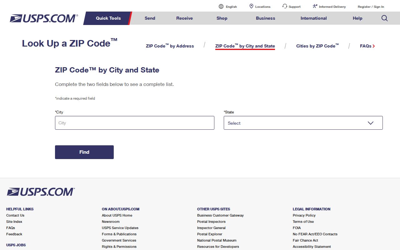
The lookup confirms deliverability and preferred postal wording. It does not identify a parcel owner or draw the Greenacres line.
USPS identifies the Greenacres Post Office at 4300 South Jog Road, Greenacres, FL 33467-9998, with phone 561-649-2039. At research time it listed retail service, a self-service kiosk, carrier and Label Broker services, and PO Box Online. Because hours can change, check the current USPS listing before a visit.
Filter Greenacres Records by ZIP
The Palm Beach County Property Appraiser Public Access portal, known as PAPA, is the best official ZIP-wide property tool found in the research. Its Advanced Search can combine ZIP Code with Municipality. That second field is crucial. A ZIP-only query pulls parcels across jurisdictional lines, while Municipality set to Greenacres narrows the result to the assessed city slice.
| Search field | Use in a ZIP search | Why it matters |
|---|---|---|
| ZIP Code | Choose one associated postal zone | Builds the broad postal result set |
| Municipality | Select Greenacres | Removes many parcels outside city jurisdiction |
| Property type | Limit the parcel category if needed | Reduces mixed result types |
| Land use | Refine the official use class | Adds parcel context without proving occupancy |
| Market value | Optional range filter | Narrows a large official result set |
The result set can show owner, location, municipality, 17-digit parcel control number, mailing address, and homestead information. Filter, CSV, Print, and Map tools support review. A tax-roll owner is not proof of every person living at the parcel, so keep any resident conclusion tied to its actual source.
The PAPA home screen shown here leads to the parcel and advanced-search tools.
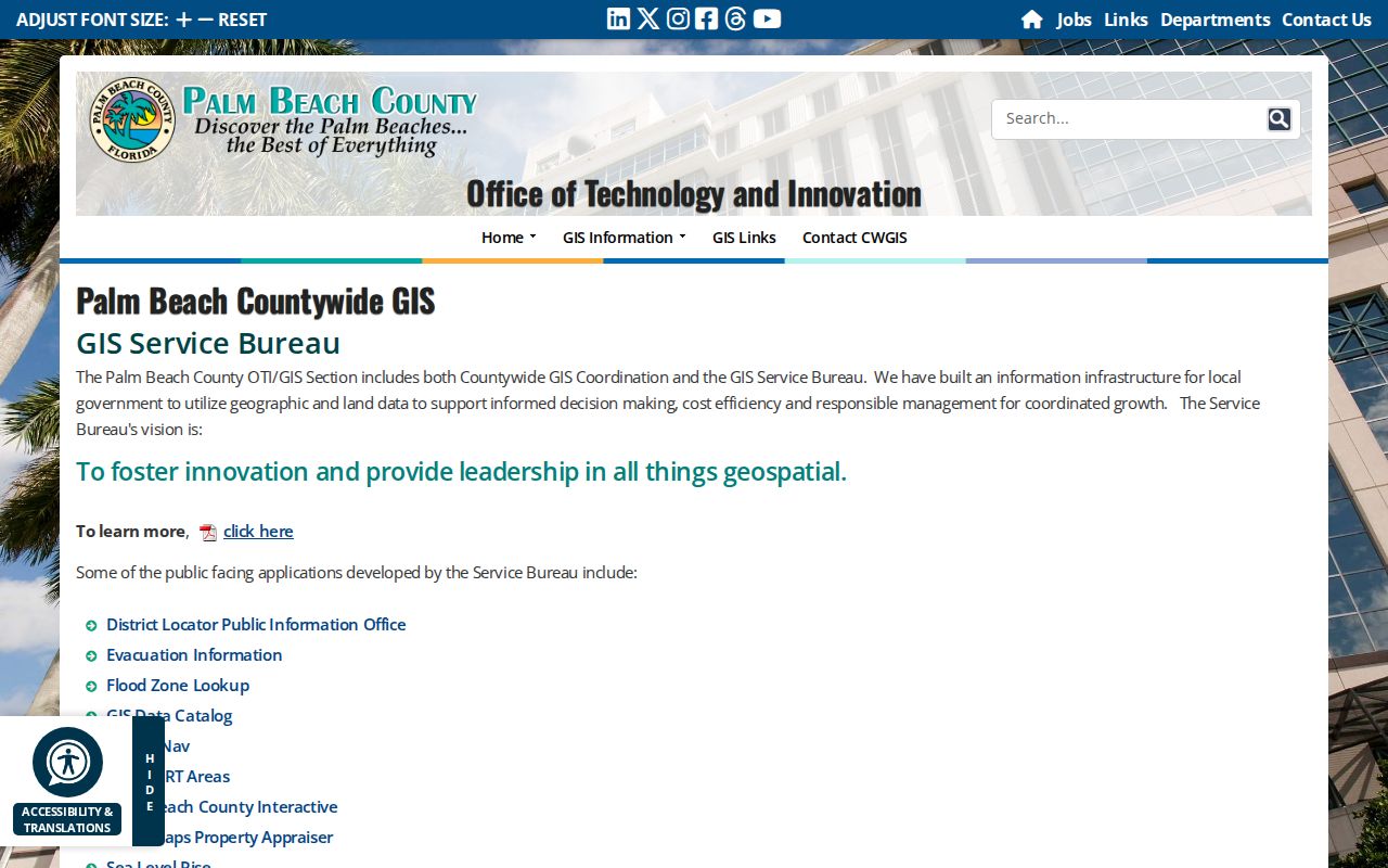
This official filter is most useful for defining the municipal slice inside a shared ZIP.
Find Greenacres Residents by ZIP
A ZIP code directory is a narrowing tool, not a final resident roll. Start with postal geography, constrain it to Greenacres, and then use a name or parcel key. Keep the source type visible at every step so owner, mailing contact, and resident are not merged into one claim.
- Verify the complete address and preferred city label in the USPS lookup.
- Run PAPA Advanced Search with that ZIP and Municipality set to Greenacres.
- Review owner, situs location, mailing address, municipality, and PCN as separate fields.
- Open the parcel map to confirm its position and nearby jurisdictional edge.
- When the search narrows to a road, continue with the Greenacres by-street lookup for address-level records.
The voter-status tool does not offer public browsing by ZIP. Florida voter-registration records are generally public, but the county tool authenticates an individual record and protects specified fields. A lawful request for aggregate or public file data goes through the Palm Beach County Supervisor of Elections rather than by scraping the status screen.
Florida law keeps Social Security numbers, driver-license or state-ID numbers, signatures, and protected-program information confidential within voter records. A redacted address should stay redacted. ZIP-based totals can support civic or genealogy research, but they do not justify trying to rebuild a protected household from another roll. Ask the Supervisor of Elections which public fields and request format are available for the intended lawful use.
Greenacres ZIPs Versus City Limits
ZIPs route mail. They are not municipal borders. Greenacres expanded from 263 acres at incorporation to 3,724.8 acres and annexed land over time, especially during the 1990s. An address inside Greenacres may carry a Lake Worth postal label. Another address can use a Greenacres-associated ZIP while sitting outside the city. For records, the controlling facts are agency jurisdiction and the parcel's municipality.
- ZIP and ZIP+4
- A ZIP names a postal delivery area; ZIP+4 narrows delivery to a smaller segment within it.
- PO-box ZIP
- A code assigned for post-office boxes rather than ordinary street delivery. None was verified as Greenacres-only.
- Unique ZIP
- A code assigned to one large recipient. No Greenacres unique ZIP was verified.
- Carrier route
- A delivery path used by USPS. It can cross the local boundaries used by other agencies.
The mismatch changes which office holds a record. Greenacres maintains city planning and permit files for parcels in its jurisdiction, while Palm Beach County handles countywide property, deed, GIS, and addressing systems. A postal label alone cannot settle that question.
The city reports a compact footprint of roughly six square miles, yet the broader postal zones extend into a much larger Palm Beach County landscape. Commercial corridors along Lake Worth Road, Forest Hill Boulevard, Tenth Avenue North, and Jog Road can pass through more than one kind of boundary. When two sources disagree, retain the full street address and PCN, record which source supplied each label, and compare the source dates before deciding that either record is wrong.
Greenacres Annexations Shaped ZIP Searches
The city's annexation history explains the irregular edge. A 2008 Annexation Element said enclaves had caused confusion about city and county response. It documented involuntary-enclave actions in 1994, 1997, 2000, 2005, and 2007. The same historical document reported that two residential enclaves totaling 37.98 acres remained in February 2008, down from 19 in 2006. Those are dated facts, not a current enclave count.
The Greenacres land-area history shows how much the incorporated footprint changed.
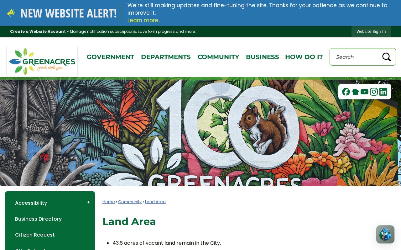
That growth helps explain why postal, census, and municipal labels can disagree on the same Greenacres-area address.
Note: Historic annexation counts explain older records, but current jurisdiction should always be checked on the parcel roll and city map.
Map Greenacres ZIP Geography Carefully
Palm Beach County GIS and Addressing support the countywide street framework. The Addressing office researches questionable addresses and manages approved street names. A correction request includes the current address, explanation, contact facts, and the 17-digit PCN. City Planning, Engineering, and GIS is the local contact for Greenacres land-use and zoning maps.
The Palm Beach County GIS Service Bureau is the official source represented below.
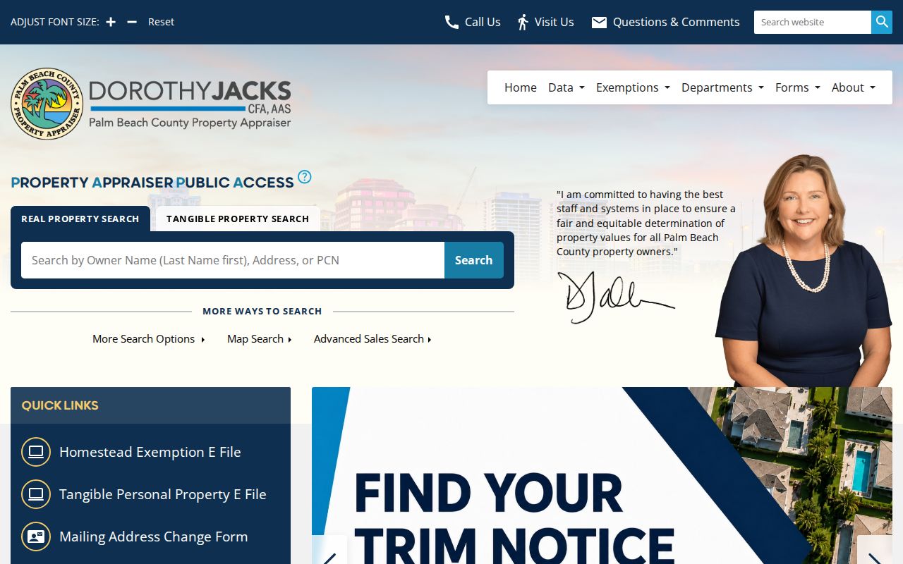
Use GIS to compare parcel and city geography, then USPS to confirm the mailing label. Neither should stand in for the other.
Read Greenacres ZIP Address Types
One record may contain three different location fields. The situs address is the assessed physical site. The mailing address is where the tax notice goes, which may be elsewhere. The legal description identifies the titled land through a subdivision, lot and block, or another formal description. The PCN links the county's property, map, tax, and Clerk systems.
Permits and code files use a service address. Voter registration uses a residence address. Recorded documents may rely on a legal description, PCN, or address, while old directories use the postal and street custom of their publication year. A sound Greenacres ZIP code directory search keeps those fields separate and bridges changed labels with the parcel key.
No verified mass local street renumbering was found. If an address looks wrong, contact Palm Beach County Addressing at 561-233-5323 or PZB-Addressing@pbc.gov, and use Greenacres GIS or planning staff for a parcel inside the city.
Keep a dated copy of each result. Postal labels, parcel data, and city map layers can be revised on different schedules.